Shandong Fengtu IOT Technology Co., Ltd
Sales Manager:Ms. Emily Wang
Cel,Whatsapp,Wechat:+86 15898932201
Email:info@fengtutec.com
Add:No. 155 Optoelectronic Industry Accelerator, Gaoxin District, Weifang, Shandong, China


Sales Manager:Ms. Emily Wang
Cel,Whatsapp,Wechat:+86 15898932201
Email:info@fengtutec.com
Add:No. 155 Optoelectronic Industry Accelerator, Gaoxin District, Weifang, Shandong, China
time:2023-02-23 17:30:57 source:Weather Station viewed:976 time
Water level meter is a product launched by Windway Technology, model FT-SW1, which can measure water level data of waters in real time, including rivers, lakes, reservoirs, dams and other areas. It uses a radar water level sensor that measures water level information in a non-contact manner using K-band planar radar technology. Also because of this, its avoids the influence of temperature, sediment, river pollutants, water surface floating matter and other factors on the accuracy.
Technical parameters.
Distance measurement range: 0-30m
Distance measurement accuracy: ±1cm
Distance measurement resolution: 1mm
Interval time: 1-5000min
FT-SW1 water level measurement instrument is actually a complete system made of hardware + software combination, which uses the radar water level sensor, communication equipment, riser bracket, collector and other hardware and CS architecture cloud platform, the protection level reached IP68, the signal output is RS485/MODBUS protocol.
It is powered by solar energy, and Windway is equipped with a solar panel and a battery with solar power of 10W/30W (optional), DC3.7V 10Ah battery, 4m high pole stand and 3m high cross-arm stand.
The cloud platform is a data management system developed by Windway Technology, which can be browsed directly by cell phone or PC without installing software. The data collected by the host will be sent to the cloud platform automatically, and users only need to log in to the cloud platform to view and download the data. The platform supports multi-account and multi-device login, also can set SMS alarm function, the platform can also display map location, equipment information, support data curve analysis, support data forwarding, HJ-212 protocol, TCP forwarding, http protocol, etc., support external running javascript script.

Medical cold storage houses large quantities of pharmaceuticals, which often need to be kept within a specific temperature range to maintain their quality and activity. Because changes in temperature may affect the chemical properties and potency of pharmaceuticals, temperature observations are need...
Soil moisture monitoring plays a vital role in agriculture and farming. By monitoring moisture and water content changes in the soil, it plays a key role in the growth and development of crops and provides important support in drought relief. The integrated multi-depth soil moisture monitoring syste...
Measuring visibility is crucial for ensuring traffic safety, especially in fields such as highways, railways, aviation, and shipping. Low visibility significantly increases the risk of accidents. Visibility data is very important for improving the accuracy of weather forecasts, conducting climate re...
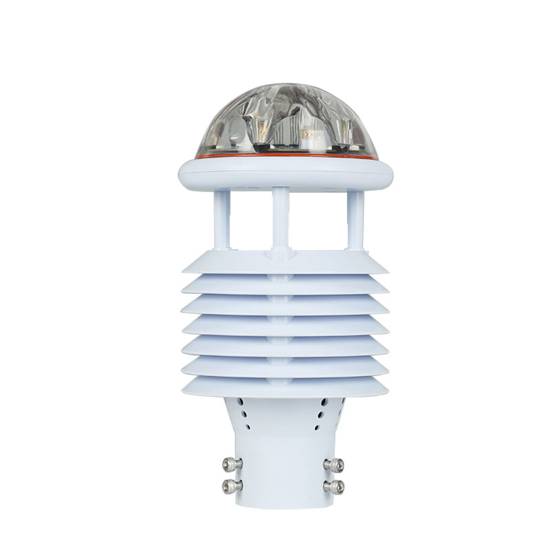
best weather station enables you to view temperature, humidity, barometric pressure, wind speed, wind direction, rainfall, etc., and is a fully functional weather station....


 Skype
Skype
 whatsapp
 mail
mail