Shandong Fengtu IOT Technology Co., Ltd
Sales Manager:Ms. Emily Wang
Cel,Whatsapp,Wechat:+86 15898932201
Email:info@fengtutec.com
Add:No. 155 Optoelectronic Industry Accelerator, Gaoxin District, Weifang, Shandong, China


Sales Manager:Ms. Emily Wang
Cel,Whatsapp,Wechat:+86 15898932201
Email:info@fengtutec.com
Add:No. 155 Optoelectronic Industry Accelerator, Gaoxin District, Weifang, Shandong, China
time:2025-01-06 10:05:22 source:Weather Station viewed:754 time
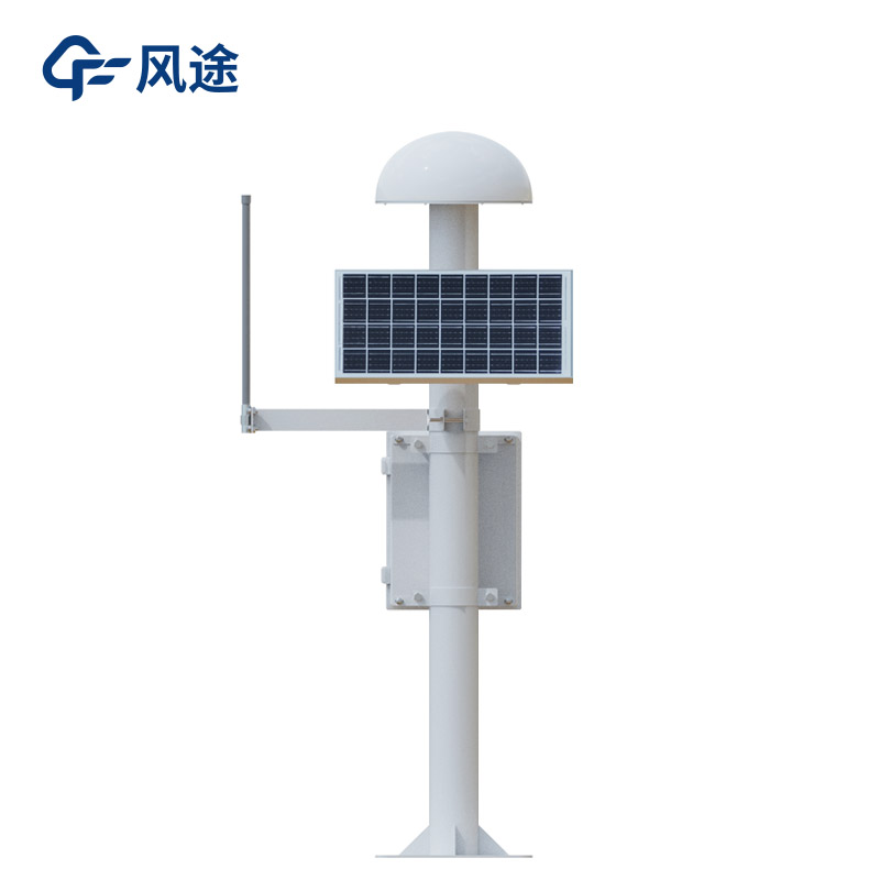
The GNSS monitoring station determines the three-dimensional spatial position (longitude, latitude and elevation) of the monitoring point based on the satellite signals of the Beidou Satellite Navigation System (BDS) and the Global Navigation Satellite System (GNSS). By receiving the signals transmitted by multiple satellites and utilizing information such as the signal propagation time difference, it calculates its own position using methods like spatial resection.
Its positioning accuracy can reach centimeter-level or even millimeter-level, enabling precise location determination of objects. For example, in some high-precision mapping scenarios, it can be used to draw maps and define land boundaries. Compared with traditional measurement methods, it significantly improves efficiency and accuracy.
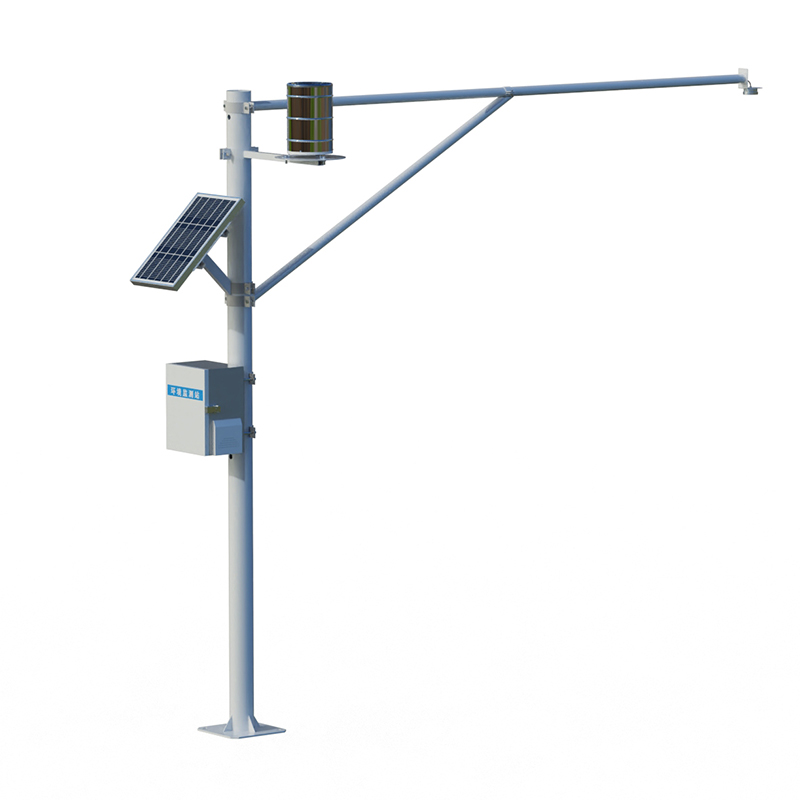
The GNSS monitoring station is mainly used for deformation monitoring. For instance, in slope stability scenarios such as mines, mountains and building foundation pits, the GNSS monitoring station can monitor the displacement of each point on the slope surface in real time. Once the slope undergoes tiny displacements due to factors such as geological activities, rain erosion or human excavation, the monitor can quickly sense and record the data. For example, when a GNSS monitoring station is installed on the slope of a highway in the mountainous area, during heavy rain or earthquake activities, it can promptly detect whether there is a sliding tendency on the slope, providing a basis for taking reinforcement measures or implementing traffic control.
In addition, for large buildings such as high-rise buildings and bridges, it can monitor the settlement during the construction and use processes. By installing monitors at key parts of the building and continuously monitoring the elevation changes, if uneven settlement occurs, timely warnings can be issued to avoid safety accidents such as cracks or even collapses in the building structure.
With the intensification of global climate change, climate anomalies are frequent, and extreme weather events such as heavy rainfall and flooding occur from time to time, posing great challenges to the construction and development of cities and villages. Under such circumstances, the protection of t...
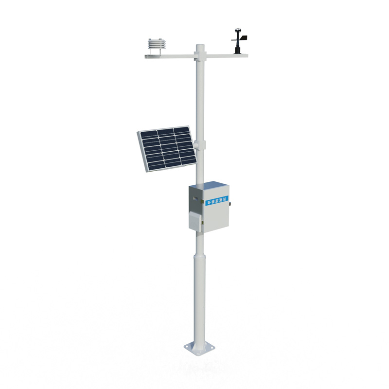
Wind, as a natural phenomenon, has a crucial impact on our lives and numerous fields. In meteorology, accurately measuring wind speed and direction helps us predict weather changes, such as the movement path and intensity of disastrous weather like storms and hurricanes. In the aviation field, wind...
A portable visibility monitoring station is an instrument used to monitor visibility in the atmosphere. With the increasing awareness of modern traffic and safety, the importance of visibility is becoming increasingly important. By using advanced optical technology and signal processing, portable vi...
In the environment we live in, air quality is closely related to our health. In recent years, "four gases and two particulates" have gradually become the focus of people's attention, and the related air quality monitoring systems are also playing an increasingly important role. So, wha...


 Skype
Skype
 whatsapp
 mail
mail