Shandong Fengtu IOT Technology Co., Ltd
Sales Manager:Ms. Emily Wang
Cel,Whatsapp,Wechat:+86 15898932201
Email:info@fengtutec.com
Add:No. 155 Optoelectronic Industry Accelerator, Gaoxin District, Weifang, Shandong, China


Sales Manager:Ms. Emily Wang
Cel,Whatsapp,Wechat:+86 15898932201
Email:info@fengtutec.com
Add:No. 155 Optoelectronic Industry Accelerator, Gaoxin District, Weifang, Shandong, China
time:2022-10-10 17:31:20 source:Weather Station viewed:1181 time
The river water level and rainfall monitoring system is based on the Internet of Things technology, combined with meteorological data and other relevant parameters to achieve real-time observation and management of river flow. It is mainly used in flood control, flood prevention early warning and water resources development and utilization.
With the needs of national economic construction and social development, China's water conservancy has made rapid progress, and more and more modern science and technology are used in water conservancy projects, so that hydrological forecasting becomes more accurate and reliable; At the same time, due to the continuous improvement of people's living standards and the worsening of the water environment, the pollutant discharge caused by human activities has become one of the important factors affecting the changes of water quality. In order to reduce environmental pollution, protect the ecological environment and ensure the health and life safety of the people, it is urgent to carry out automatic measurement and reporting of river water volume.
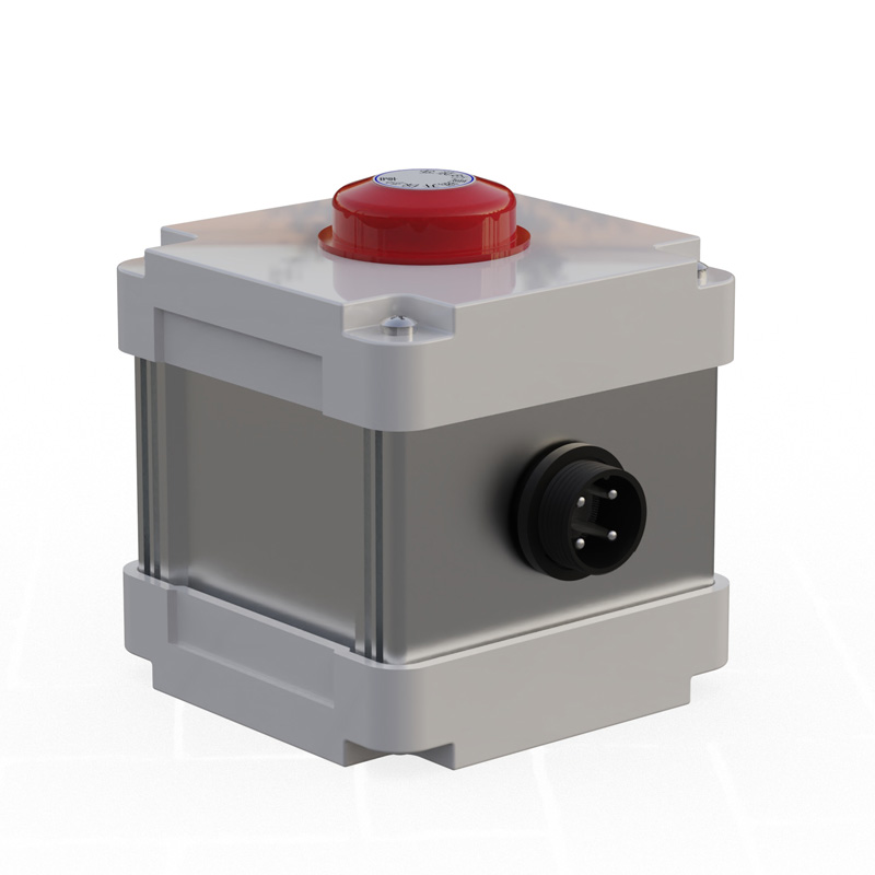
River water level and rainfall monitoring system is a comprehensive management system that integrates hydrological information collection, transmission, storage, analysis and calculation and automatic control functions. The system has the following characteristics:
1. Transmit the hydrological data collected by the hydrological station to the upper computer through the communication network;
2. Using advanced computer technology and database technology, various hydrological elements can be accurately obtained, and corresponding analysis models can be established according to these attributes;
3. Various communication means, such as RS-232/485 communication interface, are used to connect all subsystems to achieve the purpose of resource sharing and remote monitoring;
4. Customized products can meet the requirements of different users.
The river water level and rainfall monitoring system consists of hardware and software. The hardware includes sensor unit, data processing module and communication system; The software mainly includes cloud server, upper computer software, Android software, etc.

what measures the wind direction? A tool used to measure wind speed and direction. It is a very common weather station instrument....
Early summer is so beautiful, the breeze, wheat waves rolling, full of hope for a good harvest. Farmers sweat hard for a good harvest, to use science and technology to guard food security oh!For example, the temperature and humidity sensor chip to help grain monitoring for many years, intelligent gr...
The GNSS monitoring station determines the three-dimensional spatial position (longitude, latitude and elevation) of the monitoring point based on the satellite signals of the Beidou Satellite Navigation System (BDS) and the Global Navigation Satellite System (GNSS). By receiving the signals transmi...
IV curve testing is an important means to evaluate the electrical performance of photovoltaic modules or arrays. By measuring the current of photovoltaic devices at different voltages, the current-voltage (IV) curve is plotted, and key parameters such as short-circuit current, open-circuit voltage,...


 Skype
Skype
 whatsapp
 mail
mail