Shandong Fengtu IOT Technology Co., Ltd
Sales Manager:Ms. Emily Wang
Cel,Whatsapp,Wechat:+86 15898932201
Email:info@fengtutec.com
Add:No. 155 Optoelectronic Industry Accelerator, Gaoxin District, Weifang, Shandong, China


Sales Manager:Ms. Emily Wang
Cel,Whatsapp,Wechat:+86 15898932201
Email:info@fengtutec.com
Add:No. 155 Optoelectronic Industry Accelerator, Gaoxin District, Weifang, Shandong, China
time:2025-03-07 09:26:53 source:Weather Station viewed:629 time
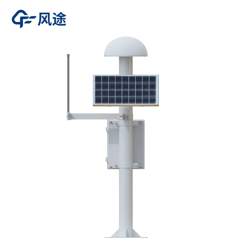
In the era of rapid technological development today, GNSS high - precision positioning technology has become an essential key support in many fields. It can achieve millimeter - level accuracy. What is the technical principle behind this?
GNSS monitoring stations include the US GPS, China's BeiDou, Russia's GLONASS, etc. The equipment receives signals from multiple navigation satellites through antennas. These signals carry key information such as time and orbital parameters, laying a data foundation for high - precision positioning. Among this information, the carrier - phase differential technique plays a core role. The reference station and the rover station simultaneously receive satellite carrier signals and use the carrier - phase differences to improve accuracy. Since the carrier wavelength is short, accurate calculation of the phase difference can achieve centimeter - level or even millimeter - level positioning. After the reference station calculates the error with the rover station, it transmits the differential data to the rover station, and the rover station corrects the positioning result in real - time.
In addition to the differential technique, high - precision positioning algorithms are also an important part. Real - Time Kinematic (RTK) technology improves accuracy by calculating the relative position differences between the reference station and the rover station; Precise Point Positioning (PPP) relies on accurate modeling and estimation of satellite orbit, clock error and other parameters to achieve high - precision positioning of a single receiver. Moreover, the GNSS receiver transmits the positioning data to the data processing unit for real - time processing and analysis. By comparing the position data at different time points, the displacement and other values are accurately calculated, further improving the accuracy.
In the field of geological disaster monitoring, GNSS monitoring stations can monitor the occurrence and development of disasters such as landslides, ground collapses, and slope displacements in real - time, issue early warnings and take corresponding preventive and disaster - reduction measures. This provides a strong basis for disaster warning and prevention, safeguarding our lives and property.
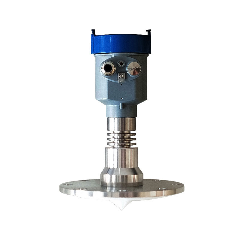
Water level monitoring instrument is specifically designed for precise distance measurement, utilizing the FMCW (Frequency Modulated Continuous Wave) mode. It features non-contact installation, a compact structure, low power consumption, and strong anti-interference capabilities, making...
Wind speed, the speed at which air moves, is a key parameter in meteorology. When the difference in air pressure between two places increases, the speed of air movement increases, resulting in an increase in wind speed and an increase in the force of the wind. For this reason, it is common to use wi...
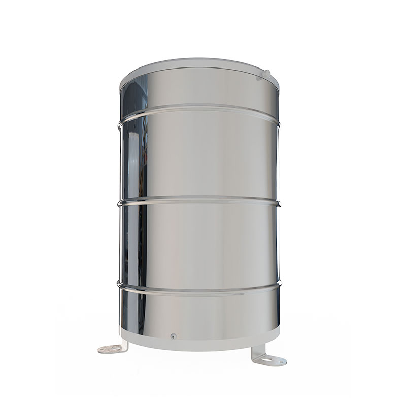
what is rain gauge is a tool for measuring how much rain falls in a particular area over a period of time, and meteorologists use rain gauges to determine how much rain falls in a particular area....
definition of rain gauge is used to determine the depth of precipitation occurring on a unit area and measure the amount of rainfall. The working principle is to collect rainwater in a container and measure it....


 Skype
Skype
 whatsapp
 mail
mail