Shandong Fengtu IOT Technology Co., Ltd
Sales Manager:Ms. Emily Wang
Cel,Whatsapp,Wechat:+86 15898932201
Email:info@fengtutec.com
Add:No. 155 Optoelectronic Industry Accelerator, Gaoxin District, Weifang, Shandong, China


Sales Manager:Ms. Emily Wang
Cel,Whatsapp,Wechat:+86 15898932201
Email:info@fengtutec.com
Add:No. 155 Optoelectronic Industry Accelerator, Gaoxin District, Weifang, Shandong, China
time:2024-11-26 09:39:31 source:Weather Station viewed:726 time
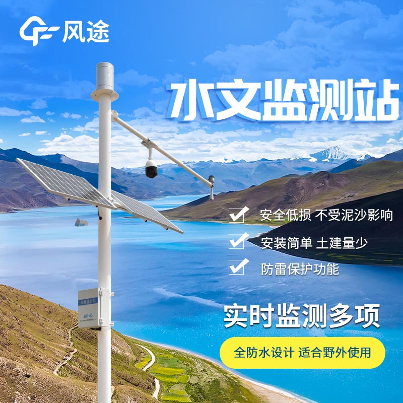
The Radar Water Level Monitoring Station mainly uses radar waves to measure the water level height, and its principle is as follows:
The Radar Water Level Monitoring Station is equipped with a radar sensor, which emits high-frequency radar waves (usually in the microwave frequency band) towards the water surface. These radar waves travel at the speed of light and will be reflected when they encounter a target object such as the water surface.
Just as light reflects when it shines on a mirror, radar waves also reflect back when they encounter the "mirror" of the water surface. For example, in a calm lake, when radar waves are vertically emitted to the water surface, there will be a relatively regular reflection.
The monitoring station records the time when the radar waves are emitted and the time when the reflected waves are received. Since the propagation speed of radar waves is known (approximately the speed of light c = 3×10⁸m/s in the air), according to the formula \(d = c\times t/2\) (where d is the distance and t is the round-trip time), the distance from the sensor to the water surface can be calculated.
For example, if the round-trip time of the radar waves is \(t = 2×10^{-6}s\), then the calculated distance \(d=(3×10⁸m/s×2×10^{-6}s)/2 = 300m\). The division by 2 is because the calculated distance is a one-way distance (from the sensor to the water surface), while the measured time is the round-trip time.
After knowing the distance from the sensor to the water surface, combined with the installation height of the sensor (this height is pre-measured and set), the water level height can be calculated.
For example, if the installation height of the sensor is \(H = 5m\) and the calculated distance from the sensor to the water surface is \(d = 3m\), then the water level height \(h = H - d = 5m - 3m = 2m\).
This non-contact measurement method has many advantages. For example, it is not directly affected by factors such as water quality and water flow speed. It can accurately monitor the change of water level in real time and can continuously work under harsh environmental conditions. It is widely used in water level monitoring of rivers, lakes, reservoirs and other water areas.
Soil moisture monitoring is of great necessity. Firstly, moisture determines the survival of crops. Soil moisture monitoring can keep track of soil moisture in real - time, ensuring the survival of crops. When there is a lack of water, irrigation can be carried out in a timely manner, and when there...
Settlement monitoring system utilizes differential RTK technology to achieve millimeter-level displacement monitoring, continuously observing vertical surface displacement through GNSS base stations and IoT sensor networks. This technology system can be widely applied in engineering fields suc...
Smart streetlights need all-in-one environmental sensorsWhat are smart streetlights?Intelligent street lights use advanced technology to achieve remote centralised control, adjusting brightness according to traffic flow, remote control of lighting, automatic alarm, anti-theft and remote meter readin...
The FT - FHQ2 Portable gas detector, launched by Fengtu Technology, is a Chinese-made composite gas detection device.This detector adopts a pump-suction gas detection method, actively extracting the gas to be detected, which greatly improves the detection efficiency. Its sensitive components u...


 Skype
Skype
 whatsapp
 mail
mail