Shandong Fengtu IOT Technology Co., Ltd
Sales Manager:Ms. Emily Wang
Cel,Whatsapp,Wechat:+86 15898932201
Email:info@fengtutec.com
Add:No. 155 Optoelectronic Industry Accelerator, Gaoxin District, Weifang, Shandong, China


Sales Manager:Ms. Emily Wang
Cel,Whatsapp,Wechat:+86 15898932201
Email:info@fengtutec.com
Add:No. 155 Optoelectronic Industry Accelerator, Gaoxin District, Weifang, Shandong, China
time:2026-04-20 10:25:28 source:Weather Station viewed:189 time
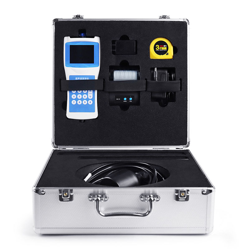
Boat Depth Finder automatically calculates water depth data by transmitting and receiving acoustic signals via an ultrasonic transducer. The device simultaneously displays water temperature, latitude and longitude coordinates, travel speed, time and date, and Bluetooth connection status.
Boat Depth Finder is a specialized instrument designed for measuring water bodies such as reservoirs, lakes, rivers, and shallow seas, utilizing ultrasonic ranging technology to determine water depth. During measurement, the operator positions the ultrasonic transducer at a specific depth beneath the water surface; the transducer then emits high-frequency ultrasonic pulses toward the bottom. Upon striking the bottom, these sound waves reflect back to the transducer. Based on the fixed speed of sound in water (Vc) and the elapsed time (T) between transmission and reception, the instrument automatically calculates the water depth (H) using the formula H = Vc × T / 2. The division by two accounts for the ultrasonic wave's round-trip travel distance.
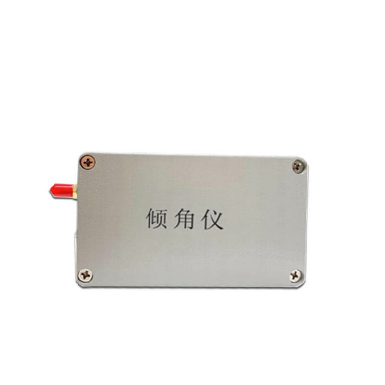
Current iterations of the Boat Depth Finder feature a highly integrated, modular design. The main unit's housing is constructed from ABS engineering plastic, while the transducer and ballast tube are made of stainless steel. The standard length of the sensor cable is 10 meters, and the total weight of the unit is kept under 1.5 kilograms, facilitating easy portability and single-person operation. The device is equipped with a full-color LCD screen (Chinese interface) capable of simultaneously displaying multiple data points, including water depth, water temperature, latitude and longitude coordinates, travel speed, time, date, battery status, and Bluetooth connection status. A built-in dual-mode BeiDou/GPS positioning module enables real-time tracking of the measurement location and ground speed, providing precise spatial reference information for hydrological surveys.
Regarding data storage and transmission, Boat Depth Finder features 16MB of built-in FLASH memory utilizing the FAT32 file system; measurement data is automatically saved in CSV format, with a storage capacity of up to 10,000 records. Users can directly access and retrieve data by connecting the device to a computer via a USB cable, or print measurement results on-site by connecting to a printer via Bluetooth. Additionally, the device is equipped with an RS485 data output interface, enabling long-distance data communication with a host computer or upper-level system.
Boat Depth Finder is capable of measuring depth in static water and can also operate stably in dynamic water environments with flow velocities not exceeding 5 meters per second. The measurement range typically spans from 0 to 150 meters, with a blanking distance of less than 0.5 meters. The measurement accuracy is ±0.5% of the full scale, and the minimum display resolution reaches 0.1 millimeters. The operating frequency automatically adjusts between 200 and 2000 kHz to accommodate measurement requirements under varying water quality conditions. The instrument operates within a temperature range of -40°C to 70°C; it is powered by a built-in rechargeable lithium battery, and its power consumption in operational mode is less than 0.3 W. This device is widely utilized in applications such as hydrological surveys, reservoir water level monitoring, river cross-section measurements, waterway dredging, and the rapid mapping of water depths during emergency rescue operations.
Field water holding capacity is a central indicator for evaluating soil moisture and drought conditions. According to national and water industry standards, soil moisture is the key to determining drought conditions. With the development of automation technology, the number of automatic moisture mon...
FT - B4BS Agriculture Sensors are capable of comprehensively monitoring four key environmental parameters: air temperature, air humidity, carbon dioxide concentration, and light intensity. For growing crops, temperature and humidity affect the transpiration and water absorption of crops, carbon diox...
Dissolved oxygen refers to molecular oxygen dissolved in water, usually denoted as DO, with the unit of mg/L. It is essential for the survival of aquatic organisms. If the concentration drops below 4 mg/L, fish may suffocate to death. When it is lower than 2 mg/L, the water body enters an anaerobic...
Small automatic weather observation station, referred to as "small weather station", its main work is to collect, organize and process weather data on an automatic basis. With the rapid socio-economic development of China and the improvement of people's quality of life requirements, mo...


 Skype
Skype
 whatsapp
 mail
mail