Shandong Fengtu IOT Technology Co., Ltd
Sales Manager:Ms. Emily Wang
Cel,Whatsapp,Wechat:+86 15898932201
Email:info@fengtutec.com
Add:No. 155 Optoelectronic Industry Accelerator, Gaoxin District, Weifang, Shandong, China


Sales Manager:Ms. Emily Wang
Cel,Whatsapp,Wechat:+86 15898932201
Email:info@fengtutec.com
Add:No. 155 Optoelectronic Industry Accelerator, Gaoxin District, Weifang, Shandong, China

Model:FT-QX1
Brand:fengtu
1.Structural Health Monitor Product Introduction
Structural Health Monitor is an instrument that accurately measures the incline of buildings. It can be used to detect the incline of buildings and accurately measure the amount of incline of buildings.Based on the principles of high precision, low power consumption, stability and reliability, an integrated tilt attitude monitor was designed and developed. It can be combined with intelligent gateways, alarm equipment and the Internet of Things platform to form a closed-loop system of self-power supply, self-monitoring, self-analysis and self-alarm for geological disaster risk points, which is suitable for intelligent and universal monitoring and early warning of geological disasters.
2. Structural Health Monitor Product Features
1. High integration: It integrates MEMS acceleration module to realize three-axis acceleration and three-axis inclination observation functions, and collects ambient temperature for temperature compensation;
2. Multi-communication: It integrates 2/4G full-network public network communication, supports NB-IoT narrowband Internet of Things communication, and supports LoRa local area self-organizing network communication, realizing local area networking of monitoring equipment, regional release of early warning information, remote transmission of monitoring data, and remote control of equipment;
3. Low power consumption: Adhering to the design concept of high integration and low power consumption, it realizes the integrated design of sensing, collection, communication and power supply. The standby performance meets the needs of long-term use in the field and has the characteristics of easy installation, which is particularly suitable for emergency monitoring deployment;
4. High precision: Adopting on-site redundant observation, based on a priori mean error and measured mean error, embedded edge computing and data filtering and data cleaning algorithms, it can achieve gross error elimination and anomaly detection, ensure the reliability of monitoring data, and meet the requirements of relevant technical standards;
5. The back of the host shell is hot-melt embedded with mounting nuts and adopts a fitted design. The built-in high-performance shell integrates the power-supply solar panel and adopts a pole-mounted installation, making the overall installation and deployment simple.
Application Areas
It is suitable for monitoring fields such as geological disasters, geotechnical engineering, construction engineering, transportation, water conservancy, and municipal administration, and is used for real-time monitoring of high-frequency vibrations of structures and micro-tilt changes of geological disaster bodies.
3. Structural Health Monitor Product Performance Indicators
1. Working conditions
Working voltage: 3.7V~4.2V
Rated power consumption: less than 120 mA/3.7V
Working temperature: -40℃~85℃
Working humidity: 95%RH without condensation
2. Technical indicators
Tilt sensor
Range: 0~90°
Accuracy: ±0.001/±0.005/±0.01 optional
Acceleration sensor
Range: ±3g
Accuracy: 0.5mg
Communication network: 2~4G GPRS/NB-IoT/LoRa
Collection interval: 1~50Hz high frequency or 0~7200s low frequency Set upload strategy on demand: scheduled upload + event-triggered upload Support interactive control
Oil Pressure Sensor integrates four distinct technologies—Electrochemical Impedance Spectroscopy (EIS), Ultrasonic Viscosity Monitoring, Micro-moisture Detection, and Inductive Magnetic Field Analysis—to provide real-time assessment of lubricant health. It simultaneously monitors key paramet...
The Ultrasonic Wind Velocity and Direction Meter is a modern wind measurement device whose main purpose is to measure wind speed and direction. It uses ultrasonic technology to accurately measure wind speed and direction, and also has the advantages of fast response, no calibration and easy installa...
The 7-factor automatic weather station, which can collect 7 meteorological elements such as wind speed, wind direction, temperature, humidity, air pressure, light/total radiation, and optical rainfall in real time, provides basic data for meteorological services, and transmits to computer for data p...
Automatic air quality monitoring stations are an important means of environmental monitoring. As the size of cities continues to grow, it has caused a certain degree of damage to the environment, so it is necessary to strengthen the construction of air quality monitoring systems. A grid-based monito...


 Get a Free Quote
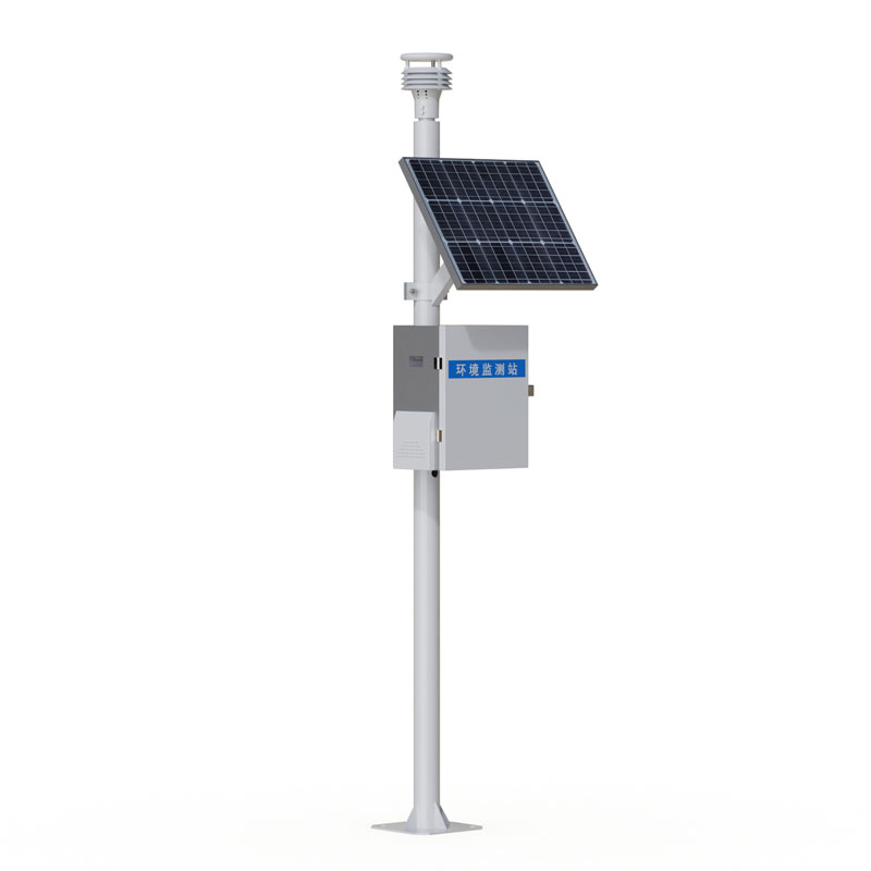
 Skype
Skype
 whatsapp
 mail
mail