Shandong Fengtu IOT Technology Co., Ltd
Sales Manager:Ms. Emily Wang
Cel,Whatsapp,Wechat:+86 15898932201
Email:info@fengtutec.com
Add:No. 155 Optoelectronic Industry Accelerator, Gaoxin District, Weifang, Shandong, China


Sales Manager:Ms. Emily Wang
Cel,Whatsapp,Wechat:+86 15898932201
Email:info@fengtutec.com
Add:No. 155 Optoelectronic Industry Accelerator, Gaoxin District, Weifang, Shandong, China
time:2026-02-11 09:42:57 source:Weather Station viewed:437 time
BeiDou GNSS monitoring is a technical solution based on the BeiDou Navigation Satellite System, utilizing differential RTK technology to achieve millimeter-level precision displacement measurement. The system consists of a receiver, antenna, data transmission, power supply, and protective devices, and is widely used in engineering safety monitoring fields such as geological disasters and bridge deformation.
BeiDou GNSS monitoring technology receives signals from multiple BeiDou satellites and performs real-time differential (RTK) calculations using ground reference stations, continuously acquiring precise three-dimensional coordinate changes at monitoring points. Its monitoring accuracy reaches the horizontal and vertical millimeter levels, enabling long-term, continuous, and automated sensing of minute deformations of the earth's surface and structures.
In the field of geological disaster monitoring, this technology plays a crucial role. By deploying monitoring points in potential landslide areas and collapsed rock zones, the system can capture the cumulative displacement and accelerating deformation trends of the mountain surface in real time. Combined with data analysis from sensors such as rainfall and groundwater levels, it can provide direct and reliable spatial displacement evidence for landslide early warning, significantly improving the accuracy and timeliness of warnings, and buying valuable time for personnel evacuation and engineering remediation.
In bridge deformation monitoring, BeiDou GNSS monitoring provides an important tool for structural health diagnosis of large bridges. Monitoring points are typically deployed at the top of bridge towers and key sections of the main girder, recording the three-dimensional displacement response of the bridge under temperature loads, traffic loads, and wind loads over a long period. By analyzing the time series of displacement data, the overall stiffness changes of the bridge structure can be assessed, abnormal deformation patterns can be identified, and quantitative data can be provided for judging the bridge's operational status and guiding maintenance.
Besides geological disaster and bridge monitoring, this technology is also widely used in the safety monitoring of tall buildings, large reservoir dams, and high-speed railway subgrades. Its core advantage lies in its all-weather, all-time operation, requiring no line of sight, and directly acquiring absolute position information, making it particularly suitable for monitoring scenarios with complex terrain and wide areas that are difficult to cover with traditional measurement methods.
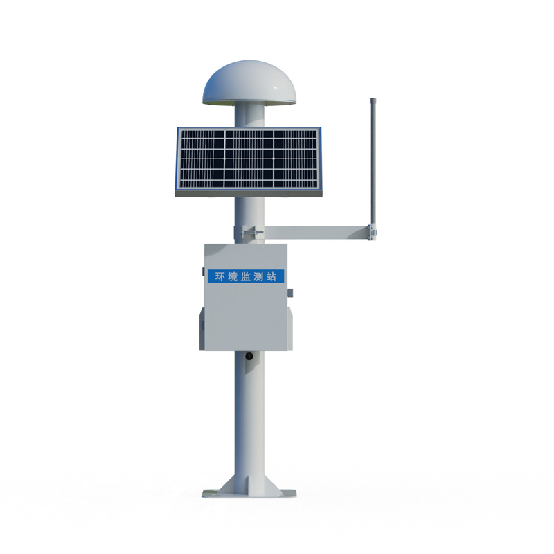
In actual deployment, the station network needs to be optimized according to the monitoring objectives and accuracy requirements, ensuring the reliability of power supply and communication, and taking necessary physical protection measures. Monitoring data is transmitted back to the cloud monitoring platform in real time via wireless network. Combined with professional analysis software, automatic data processing, visualization of deformation trends, and multi-level threshold early warning can be achieved.
Overall, millimeter-level displacement monitoring based on BeiDou GNSS has become a mature spatial sensing technology in modern engineering safety and disaster prevention and mitigation systems. With its high-precision, continuous spatial displacement data, it provides indispensable technical support for the safe operation of infrastructure and the early identification of geological disasters.
IOT weather station equipment manufacturers recommended, wind way technology is a collection of R & D design, manufacturing and sales in one of the high-tech enterprises, the company was founded since always adhering to the "customer first" business philosophy, adhere to the integrity...
The Handheld Portable Weather Station launched by Shandong Fengtu is a compact weather monitoring equipment integrating multi-functions into one.Related products:Ultrasonic Handheld Weather Station, Model FT-SQ5A, FT-SQ5BMechanical Handheld Weather Station, Model FT-SQ5Pocket Handheld Weather Statio...
weather sensors are environmental monitoring devices that measure weather data such as temperature, relative humidity, precipitation, barometric pressure, wind direction, and wind speed....
The "wireless" in wireless soil moisture monitoring system refers to the fact that the system utilizes wireless communication technology for data transmission, which does not require wiring, and can remotely monitor soil moisture and other environmental parameters. It is a device that auto...


 Skype
Skype
 whatsapp
 mail
mail