Shandong Fengtu IOT Technology Co., Ltd
Sales Manager:Ms. Emily Wang
Cel,Whatsapp,Wechat:+86 15898932201
Email:info@fengtutec.com
Add:No. 155 Optoelectronic Industry Accelerator, Gaoxin District, Weifang, Shandong, China


Sales Manager:Ms. Emily Wang
Cel,Whatsapp,Wechat:+86 15898932201
Email:info@fengtutec.com
Add:No. 155 Optoelectronic Industry Accelerator, Gaoxin District, Weifang, Shandong, China
time:2025-01-10 10:03:05 source:Weather Station viewed:896 time
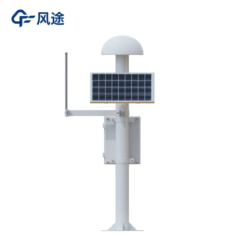
A GNSS monitoring station is a device that achieves high-precision positioning monitoring by using the global navigation satellite system. Its working principle relies on satellite navigation systems such as GPS and Beidou. It receives signals from multiple satellites to determine its own three-dimensional coordinates, continuously locates and measures the displacement of the monitored object, and combines the data of the ground reference station to perform differential processing to improve accuracy.
It consists of multiple parts. The space part has multiple GNSS satellites, which are responsible for transmitting signals to the ground and setting benchmarks. The ground reference station has known precise coordinates and is used to correct the satellite positioning data of the measurement station. The monitoring terminal includes a GNSS antenna, a solar panel, a main control chassis and a mounting bracket, and undertakes the tasks of receiving, collecting and uploading data.
The positioning accuracy can reach millimeter to sub-meter level. It can collect and transmit data in real time, allowing staff to timely master the situation of the monitored object. It can operate automatically, saving manpower. It is compatible with multiple satellite navigation systems and the data is reliable. With stable software and hardware, it can adapt to harsh environments and operate stably for a long time.
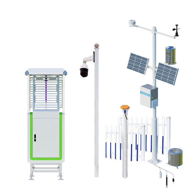
It is widely used in geological disaster monitoring to keep an eye on potential hazards such as landslides and mudslides; in engineering deformation monitoring to safeguard infrastructure such as bridges and dams; in earthquake monitoring to assist in the study of crustal movement; and in geodetic surveying to lay a solid data foundation for research in multiple fields.
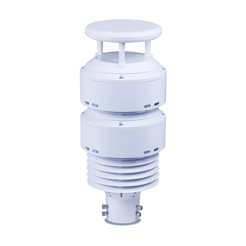
Non Contact Road Condition Sensor is the heart of an automatic traffic meteorological station. It detects wind speed and direction by measuring the time difference of ultrasonic waves traveling through the air, and monitors key meteorological parameters such as air temperature, humidity, and atmosph...
Meteorological factors affecting pepper production are temperature, precipitation, light, etc.1. TemperaturePepper trees like temperature is not cold, the average annual temperature of 10 ~ 15 ℃ in the area can be planted pepper trees. In general, pepper trees can tolerate a low temperature of minu...
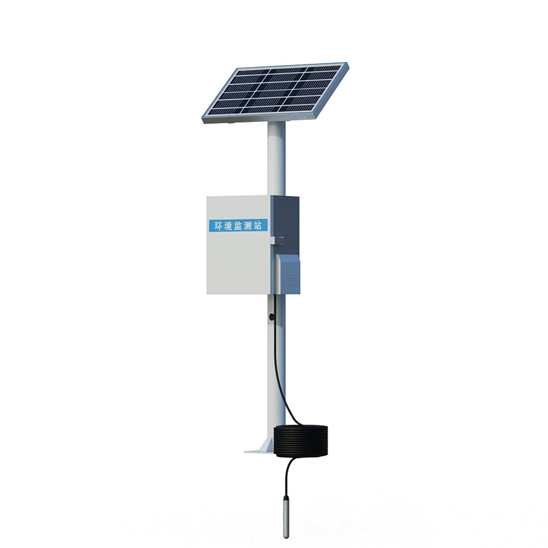
Waterlogging monitors are usually installed in areas of the city that are prone to waterlogging, such as low-lying areas, underground passages, and under overpasses. It acts as a "data collector", using high-precision water level sensors and other equipment to accurately collect key data s...
non contact level sensor uses pulse radar for liquids to accurately record levels in liquid media reliably and accurately....


 Skype
Skype
 whatsapp
 mail
mail