Shandong Fengtu IOT Technology Co., Ltd
Sales Manager:Ms. Emily Wang
Cel,Whatsapp,Wechat:+86 15898932201
Email:info@fengtutec.com
Add:No. 155 Optoelectronic Industry Accelerator, Gaoxin District, Weifang, Shandong, China


Sales Manager:Ms. Emily Wang
Cel,Whatsapp,Wechat:+86 15898932201
Email:info@fengtutec.com
Add:No. 155 Optoelectronic Industry Accelerator, Gaoxin District, Weifang, Shandong, China
time:2025-01-02 10:16:44 source:Weather Station viewed:613 time
The safety level of slope engineering is divided into first, second, and third levels according to factors such as damage consequences, types, and heights. The monitoring section is often selected at geologically weak or representative locations.
The layout of monitoring points for slope automation monitoring is rigorous and scientific. Displacement monitoring includes internal and external displacements, and there are clear requirements for the horizontal spacing of each level of slope. The internal displacement is measured by a guide wheel inclinometer, and for the external displacement, GPS or a cable-pulling sensor is selected depending on the visibility. Slope stability monitoring radars and GNSS technology monitor the tiny deformation of the surface with high precision based on the principle of electromagnetic wave reflection. GNSS accurately determines the three-dimensional coordinates of monitoring points by satellite positioning. Both can record data continuously for a long time, providing strong support for slope stability analysis.
As for crack monitoring, once there is a change in the crack, crack meters will be installed at key points to monitor its length, width, and distribution. In the stress monitoring of the support structure, anchor cable meters and earth pressure cells are installed in the reinforcement area of the anchor rod and anchor cable and at the bottom side of the retaining wall respectively to ensure the stability of the structure.
Similarly, environmental monitoring is also indispensable. A rain gauge is installed at the top of the slope to measure rainfall, and various instruments are installed at locations with many water outlet points to monitor the groundwater situation. A wind speed meter and a temperature and humidity meter can also be installed to monitor the surrounding environment.
For first-level slope engineering with complex geology, a comprehensive and long-term monitoring system needs to be constructed. From the construction of the monitoring network and points, to the installation and protection of various instruments (including monitoring radars and GNSS), to the collection, transmission, processing, and analysis of data, and finally to prediction, forecasting, and summary, each link is closely connected. Through this system, the dynamic state of the slope can be grasped comprehensively and in real time, ensuring the long-term stable operation of the project, safeguarding the safety of people's lives and property, facilitating the smooth progress of various projects, playing a key role in social development, and ensuring the safety and stability of slope engineering in all aspects to meet the high requirements and standards of modern construction.
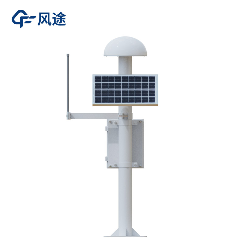
A GNSS monitoring station is a device that achieves high-precision positioning monitoring by using the global navigation satellite system. Its working principle relies on satellite navigation systems such as GPS and Beidou. It receives signals from multiple satellites to determine its own three-dime...
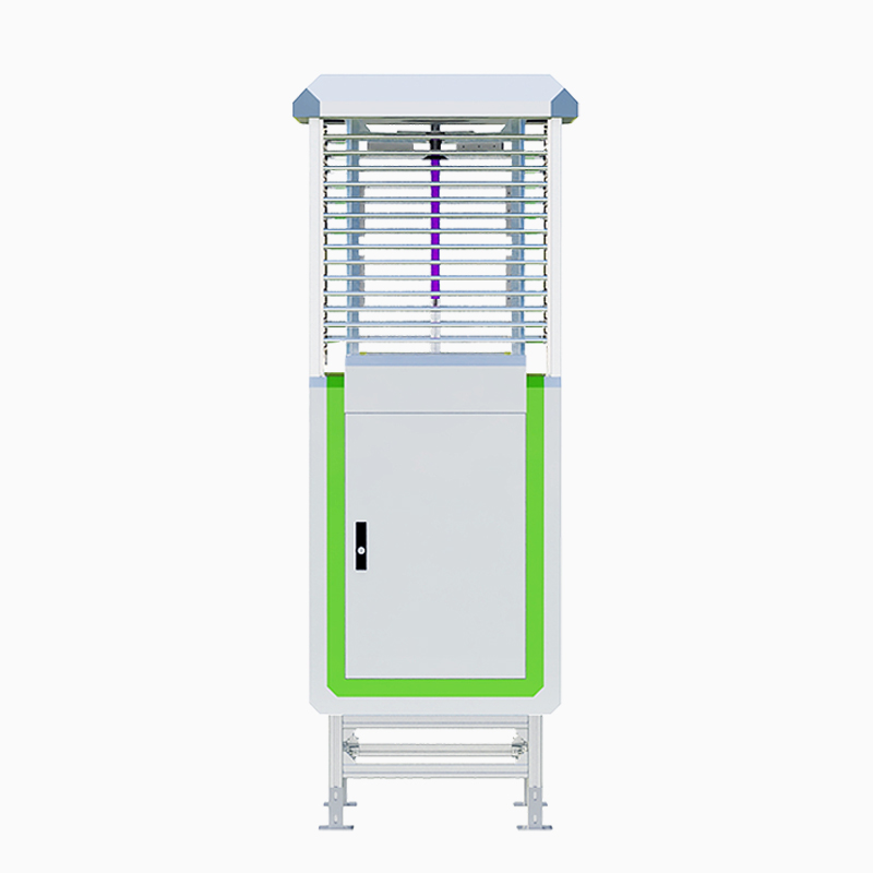
The RS485 Tube Soil Temperature and Humidity is a layered soil moisture determination device that uses frequency domain reflectance (FDR) technology to measure the moisture and salt content of the soil. This technology determines the dielectric constant of the soil by analyzing the frequency change...
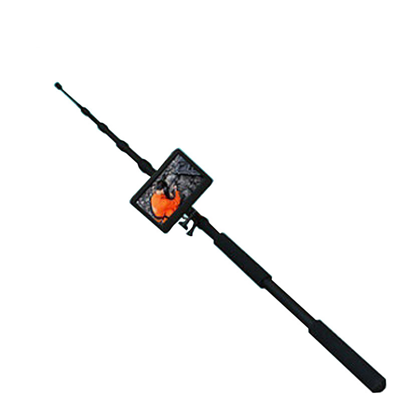
Outdoor adventure activities such as camping, mountaineering, hiking and fishing have become popular choices for modern urbanites to pursue nature and relax. It is crucial to know the weather conditions of your destination before you set off, but traditional weather forecasts often have wide coverag...
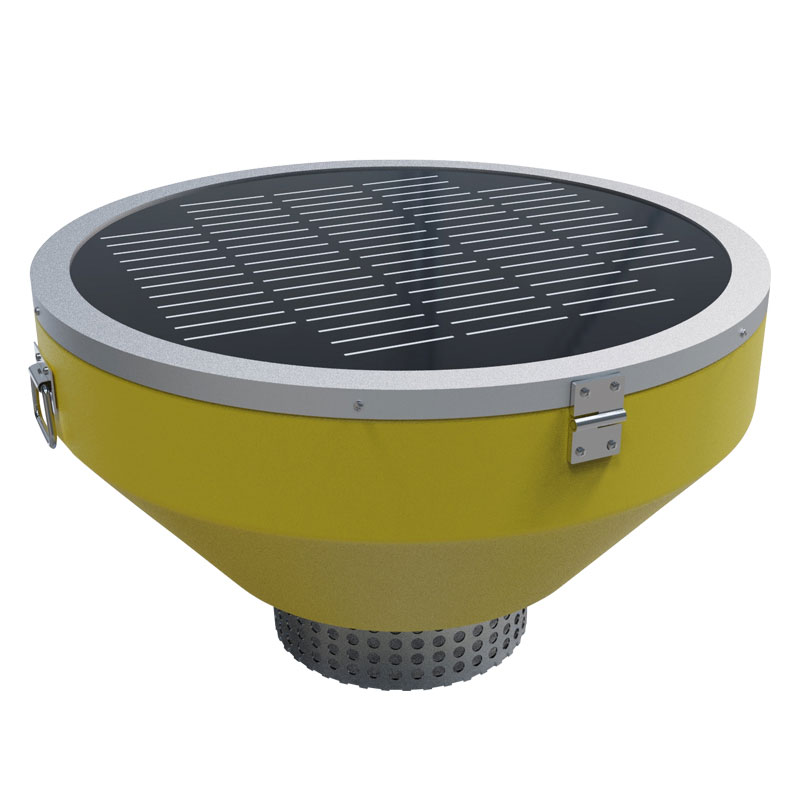
Ultrasonic wind speed and direction sensors work by measuring the difference in propagation time of ultrasonic waves in different directions to determine wind speed and direction. Specifically:Ultrasonic waves have different propagation times in the downwind and upwind directions. When the wind is b...


 Skype
Skype
 whatsapp
 mail
mail