Shandong Fengtu IOT Technology Co., Ltd
Sales Manager:Ms. Emily Wang
Cel,Whatsapp,Wechat:+86 15898932201
Email:info@fengtutec.com
Add:No. 155 Optoelectronic Industry Accelerator, Gaoxin District, Weifang, Shandong, China


Sales Manager:Ms. Emily Wang
Cel,Whatsapp,Wechat:+86 15898932201
Email:info@fengtutec.com
Add:No. 155 Optoelectronic Industry Accelerator, Gaoxin District, Weifang, Shandong, China
Model:FT-F1
Brand:fengtu
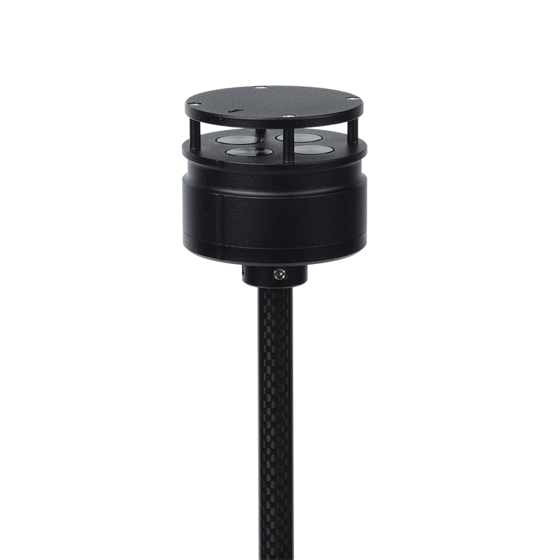
Product Name: Anemometer for drones
Anemometer for drones is an anemometer designed for use on drones and size, weight and power limiting devices.Anemometer for drones Product Introduction: FT-F1 anemometer is an anemometer that uses the ultrasonic resonance principle.
Specially designed and installed on small aircraft and unmanned platforms to monitor wind speed and direction values in low-altitude areas.
The FT-F1 weighs 56g and has a diameter of 46mm, making it small and light. It is compact and solid, has strong anti-electromagnetic interference, waterproof and dustproof functions, and can work normally at an altitude of 4,000 meters and in an external environment with a temperature between -40°C and +70°C.
It uses a low-power chip inside and can measure wind speeds up to 60m/s. It is especially suitable for unmanned aircraft and their related flight control platforms, as well as environmental monitoring systems using aircraft.
FT-F1 is designed with two installation methods: it can be installed vertically on the top of the aircraft or inverted on the bottom of the aircraft.
Anemometer for drones technical indicators:
Wind speed measurement range 0-60m/s, accuracy 3%, resolution 0.1m/s
Wind direction measurement range 0-359°, accuracy ±3°, resolution 1°
Instrument diameter 46mm
Instrument height 48mm
Instrument weight: 56g
Material:ABS
Color Black
Digital output RS485
Baud rate 4800-19200
Communication protocol ModBus, ASCII
Operating temperature/humidity -40℃-+70℃; 0-100%
Working altitude 0-4000 meters
Power requirement VDC: 5-30V; 15mA (12V)
Installation method: Mount on the top column of the aircraft or hang on the bottom
Archives, as places where important artefacts, materials and books are kept, cannot be overstated. A key factor in the deterioration of materials is a change in the temperature and humidity of the environment, which promotes the growth and reproduction of moulds. Therefore, in order to be able to pr...
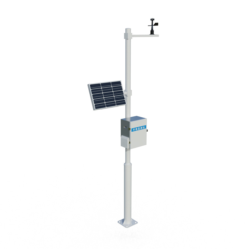
Explosion-proof automatic weather station, mainly used for environmental monitoring and management in electric power, petroleum, chemical and other industries, is a meteorological observation instrument. It can monitor the changes of various meteorological data in the atmosphere exactly within a cer...
FT-S3 is a Water PH Sensor suitable for industrial use. Why is that? In terms of measurement principle, FT-S3 utilizes the electrochemical (salt bridge) principle. Its core components include a glass electrode highly sensitive to hydrogen ions (H⁺) and a reference electrode composed of an Ag/AgCl e...
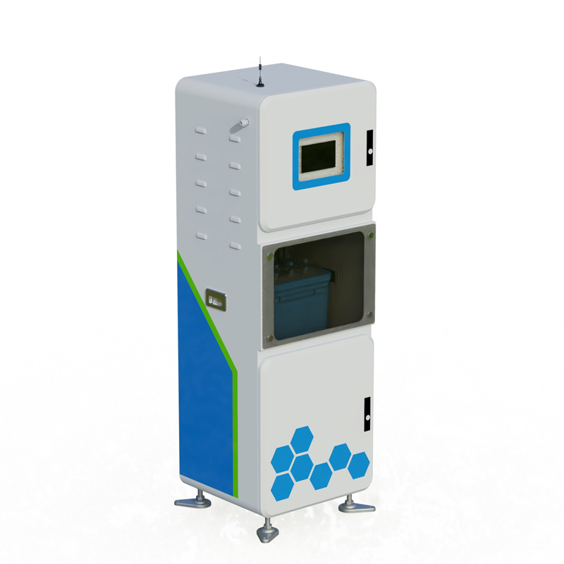
The monitoring of rainfall and water levels is crucial for flood prevention and disaster mitigation, water resources management, and urban drainage. Timely understanding of changes in rainfall and water levels can effectively prevent disasters such as floods and mountain torrents, ensuring the safet...


 Get a Free Quote
 Skype
Skype
 whatsapp
 mail
mail