Shandong Fengtu IOT Technology Co., Ltd
Sales Manager:Ms. Emily Wang
Cel,Whatsapp,Wechat:+86 15898932201
Email:info@fengtutec.com
Add:No. 155 Optoelectronic Industry Accelerator, Gaoxin District, Weifang, Shandong, China


Sales Manager:Ms. Emily Wang
Cel,Whatsapp,Wechat:+86 15898932201
Email:info@fengtutec.com
Add:No. 155 Optoelectronic Industry Accelerator, Gaoxin District, Weifang, Shandong, China
time:2022-12-05 17:11:35 source:Weather Station viewed:1306 time
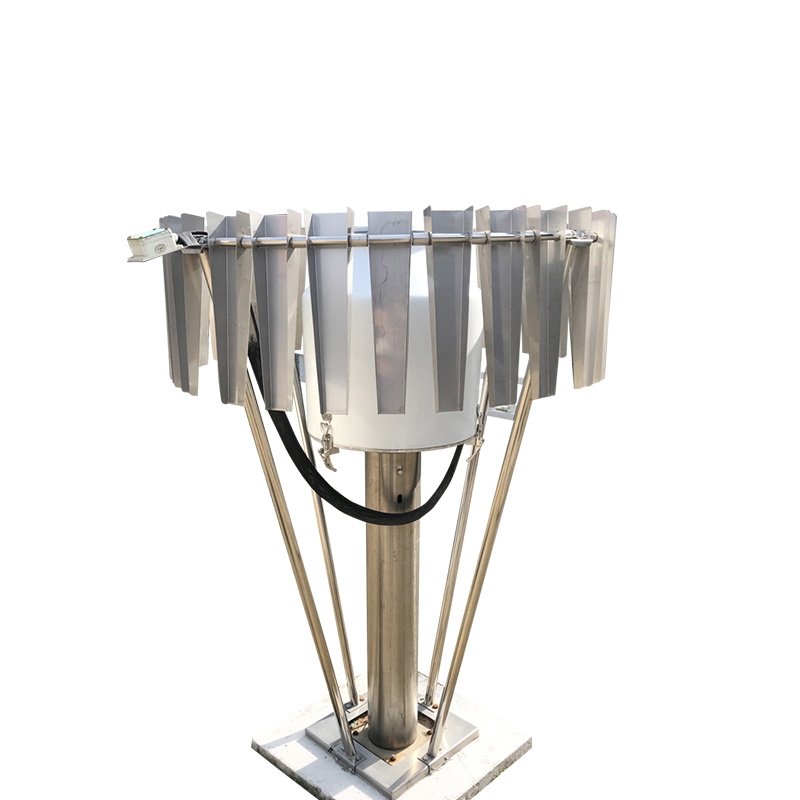
Radar water level meter is a non-contact precision water level measuring instrument. The application of this instrument makes the hydrological test transition from the traditional full-time manual observation mode to the modern hydrological digital mode, which improves the efficiency.
The radar water level meter is suitable for rivers where it is inconvenient or impossible to install floats or pressure water level meters, and also for mountainous rivers. It has the advantages of strong water level tracking ability, simple maintenance, relatively low post maintenance cost, accurate measurement, high resolution and fast transmission rate.
The application of radar water level meter provides a basis for establishing a new mode of water level monitoring and management mainly based on patrol and supplemented by grid-based patrol area, and creates favorable conditions for hydrological stations to realize the operation and management mode of "manned and unmanned" as soon as possible. Since the comparison year is a normal year, the water level does not change much, so the adaptability of the radar water level meter to the conditions cannot be fully tested. When the sudden change of river potential at the cross section caused by super standard flood and water level rise, more data should be collected to further verify the performance index of the radar water level meter, and to verify and improve it.
The Meteorological Disaster Emergency Monitoring and Early Warning System integrates the management of a wide range of meteorological disasters, including, but not limited to, typhoons, droughts, cold waves, dust storms, extreme heat, heavy rainfall and haze. It is able to quickly establish temporar...
In the construction project of automated geological disaster monitoring, the rainfall monitoring station, as an important device, plays a crucial role in the prevention and response to geological disasters.Heavy rainfall is a key factor triggering geological disasters such as debris flows and landsl...
In the fields of water conservancy management and flood control and disaster reduction, water level monitoring is of great importance, and the Water Level Monitoring System achieves efficient and accurate monitoring of water levels.The Water Level Monitoring System is mainly composed of front-end mo...
The integrated rainfall monitoring station is a new type of equipment for real-time monitoring and analysis of precipitation in the region. The equipment adopts different types of rain sensors to automatically collect rainfall data and transmit them to the monitoring center through the network. As a...


 Skype
Skype
 whatsapp
 mail
mail