Shandong Fengtu IOT Technology Co., Ltd
Sales Manager:Ms. Emily Wang
Cel,Whatsapp,Wechat:+86 15898932201
Email:info@fengtutec.com
Add:No. 155 Optoelectronic Industry Accelerator, Gaoxin District, Weifang, Shandong, China


Sales Manager:Ms. Emily Wang
Cel,Whatsapp,Wechat:+86 15898932201
Email:info@fengtutec.com
Add:No. 155 Optoelectronic Industry Accelerator, Gaoxin District, Weifang, Shandong, China
time:2024-12-04 09:44:48 source:Weather Station viewed:780 time
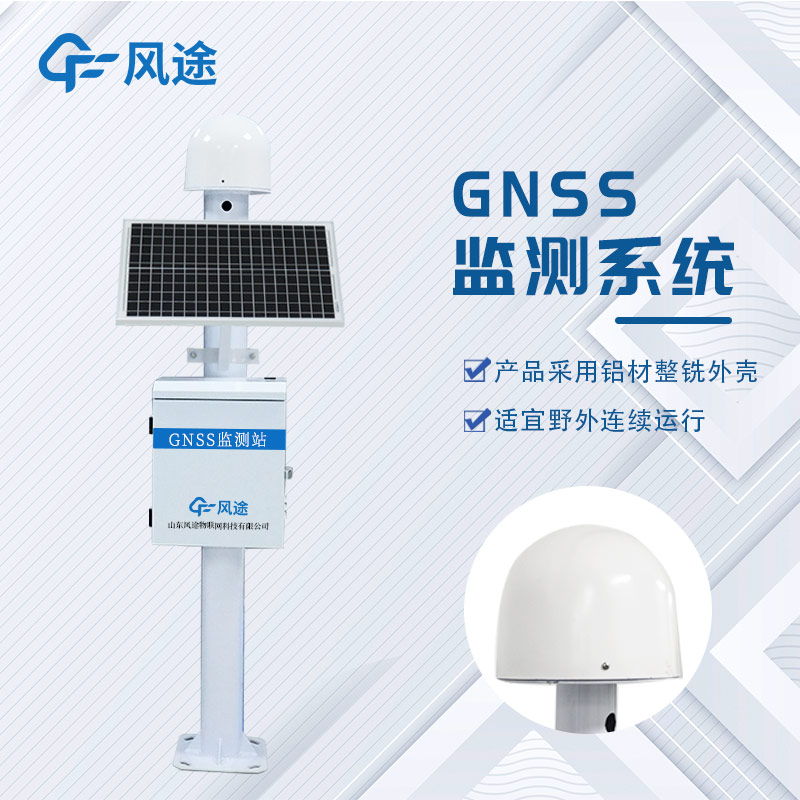
The Continuously Operating Reference Station Network (CORS), as a crucial support for modern positioning services, consists of core elements such as continuously operating reference stations, a data center, and a data communication network, forming an organic whole.
The continuously operating reference station is the front line of data collection. It is equipped with GNSS receiver equipment, meteorological equipment, power supply equipment, communication equipment, and computers. Basic facilities such as observation piers, observation rooms, and studios ensure the stable operation of the equipment. With its excellent combination of equipment, this reference station can continuously track, observe, and record satellite signals over a long period, accurately capturing all kinds of information transmitted by satellites. These observational data are then transmitted to the data center through the data communication network either at predetermined times or in real-time, providing a continuous stream of raw data resources for the entire system's data chain.
The data center is the nerve center of data processing and management in the system. Composed of computers, network equipment, professional software systems, and a computer room, it has powerful data management capabilities, enabling the orderly storage and organization of a vast amount of reference station data. At the same time, its data processing and analysis functions can deeply process the raw data, uncover the value behind the data, and then generate a variety of data products. These products are distributed through the service functions of the data center to meet the diverse needs of different industries and users for positioning, navigation, and other related data.
The data communication network, as the link of the system, is composed of public or private communication networks. Its main task is to achieve efficient data exchange between the reference stations and the data center as well as between the data center and the users. Whether it is the transmission of observational data from the reference stations to the data center or the distribution of data products generated by the data center to the users, it all depends on the stable operation of the data communication network to ensure the timeliness and accuracy of information transmission, thereby ensuring that the entire satellite continuously operating reference station network system can stably and efficiently provide high-precision data services and positioning support for numerous fields such as geographic information, transportation, and urban planning.
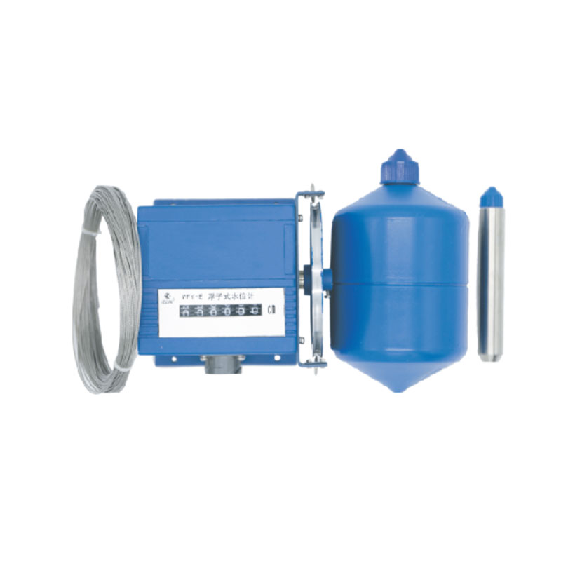
Portable surface flow meter is a portable device designed for field open channel flow velocity and flow measurement by departments such as hydrological monitoring, agricultural irrigation, municipal drainage, and environmental protection. It calculates flow rate by directly measuring the surface velocity of water and is suitable for rapid on-site measurement in various scenarios, including natural rivers, channels, and pipeline outlets....
A wind speed meteorometer is a meteorological instrument used to measure wind speed. It is one of the very important devices in meteorological observation and prediction for monitoring and recording the speed and direction of wind in the atmosphere. Anemometers can use different operating principles...
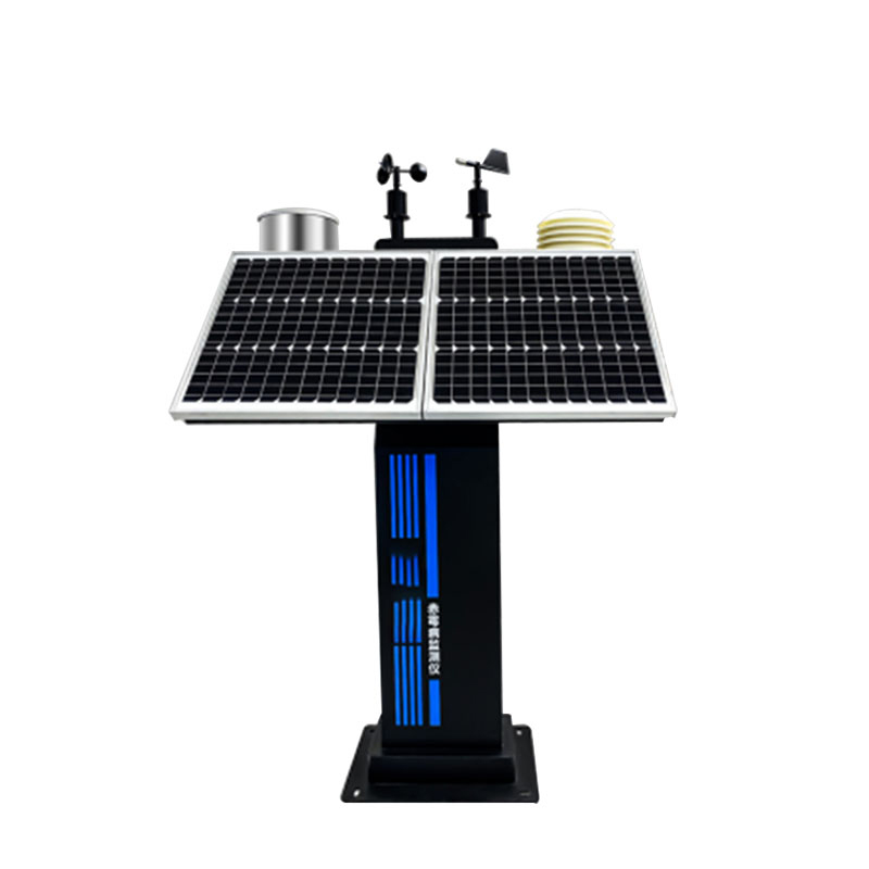
Automatic weather stations are widely used in China, not only in agricultural management, but also in industrial production, open-air stacking of materials, environmental monitoring, traffic safety, meteorological early warning and other fields. With the continuous improvement of science and technol...
The Air quality monitoring station is playing an increasingly prominent role in the field of environmental monitoring. It can monitor a variety of air pollutants in real-time, such as sulfur dioxide, nitrogen dioxide, carbon monoxide, ozone, and particulate matter. Its operation relies on different...


 Skype
Skype
 whatsapp
 mail
mail