Shandong Fengtu IOT Technology Co., Ltd
Sales Manager:Ms. Emily Wang
Cel,Whatsapp,Wechat:+86 15898932201
Email:info@fengtutec.com
Add:No. 155 Optoelectronic Industry Accelerator, Gaoxin District, Weifang, Shandong, China


Sales Manager:Ms. Emily Wang
Cel,Whatsapp,Wechat:+86 15898932201
Email:info@fengtutec.com
Add:No. 155 Optoelectronic Industry Accelerator, Gaoxin District, Weifang, Shandong, China

Model:FT-GS1
Brand:fengtu
1.GNSS Receivers Product Introduction
GNSS Receivers is a high precision surface displacement measurement system that monitors the displacement variation of the measured object through real-time calculation of GNSS receivers.GNSS Receivers are millimeter-level displacement monitoring products that use differential RTK technology. They can be widely used in engineering fields such as dam safety monitoring, bridge health detection, and landslide warning. The product has high precision, high stability, and real-time data transmission capabilities, and can accurately monitor the tiny displacement changes of targets in various complex environments. The GNSS displacement station is simple to operate and install, and can be remotely monitored and analyzed for data, providing strong protection for engineering safety. In addition, its powerful data processing capabilities and compatibility enable the product to be easily integrated into various monitoring systems, realize data sharing and integration, and provide a comprehensive and efficient solution for engineering safety monitoring.
2. GNSS Receivers Product Parameters
Sensor parameters:
1.Sensor power supply: DC10V-15V
2.Sensor power consumption: 0.25W
3. Static accuracy (differential mode): horizontal ± (2.5mm + 1ppm), vertical ± (5mm + 1ppm)
4.☆Antenna: Choke antenna, magnetic absorbing material, effectively reducing multipath effect
5.☆Communication protocol: Modbus-RTU, supports offline calculation of displacement, vertical and horizontal directions of displacement on the device side
6.Support RTCM3 differential data
7. Dimensions: diameter 360mm height 163mm
8. Working environment: -40°C~+85°C, 0%RH~95%RH (no condensation)
3. GNSS Receivers Product Installation
Installation requirements:
1. There should be no tall buildings around either the base station or the measuring station. If this is unavoidable, they should be at least 20 meters away.
2. The recommended distance between the base station and the measuring station (baseline distance) is less than 500 meters, and the maximum distance is no more than 2 km. They should be installed at the same altitude as much as possible. Too large a distance will cause the longitude to decrease.
3. The base station and the measuring station should be visible to each other as much as possible. If they cannot be completely visible, high walls, buildings, etc. should be avoided.
4. Ensure that the antenna is at the highest point within 20 meters.
5. The installation base should be firm to avoid loss of accuracy due to wind.
6. The height of the data transmission antenna and lora antenna cannot be higher than the measurement antenna, and should be kept as far away from the measurement antenna as possible. To ensure the accuracy of subsequent measurements, you can also contact the company's after-sales video guidance for specific installation matters.
The photoelectric rain gauge is an advanced meteorological instrument for accurate measurement of rainfall. Based on photoelectric sensing technology, it can monitor and record rainfall in real time, providing important data support for meteorological research, water resource management and disaster...
Air quality has a far-reaching impact on human health and the ecological environment. Along with the rapid progress of industrialisation and urbanisation, the problem of air pollution has become increasingly serious. This situation not only poses a threat to people's health, but also has a serio...
A UAV-specific visibility meter is a device specifically designed to measure and monitor visibility in the atmosphere, with the aim of providing accurate visibility information to assist UAV operators in flight decision-making and flight safety management. Visibility is the distance at which the hum...
The river water level and rainfall monitoring system is based on the Internet of Things technology, combined with meteorological data and other relevant parameters to achieve real-time observation and management of river flow. It is mainly used in flood control, flood prevention early warning and wa...


 Get a Free Quote
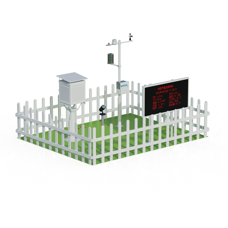
 Skype
Skype
 whatsapp
 mail
mail